The FEED Jeffco Green Map connects food education and enterprise development in Jefferson County, Washington, USA, thus visualising and strengthening the connections between food-growing projects across the region.
The challenge
Port Townsend is a popular tourist destination on the Olympic Peninsula, known for beautiful vistas, tasting rooms and maritime history. Less well known is the poverty that exists across the county. During the COVID pandemic, families were left vulnerable because isolated growing projects made it hard to overcome food supply challenges.
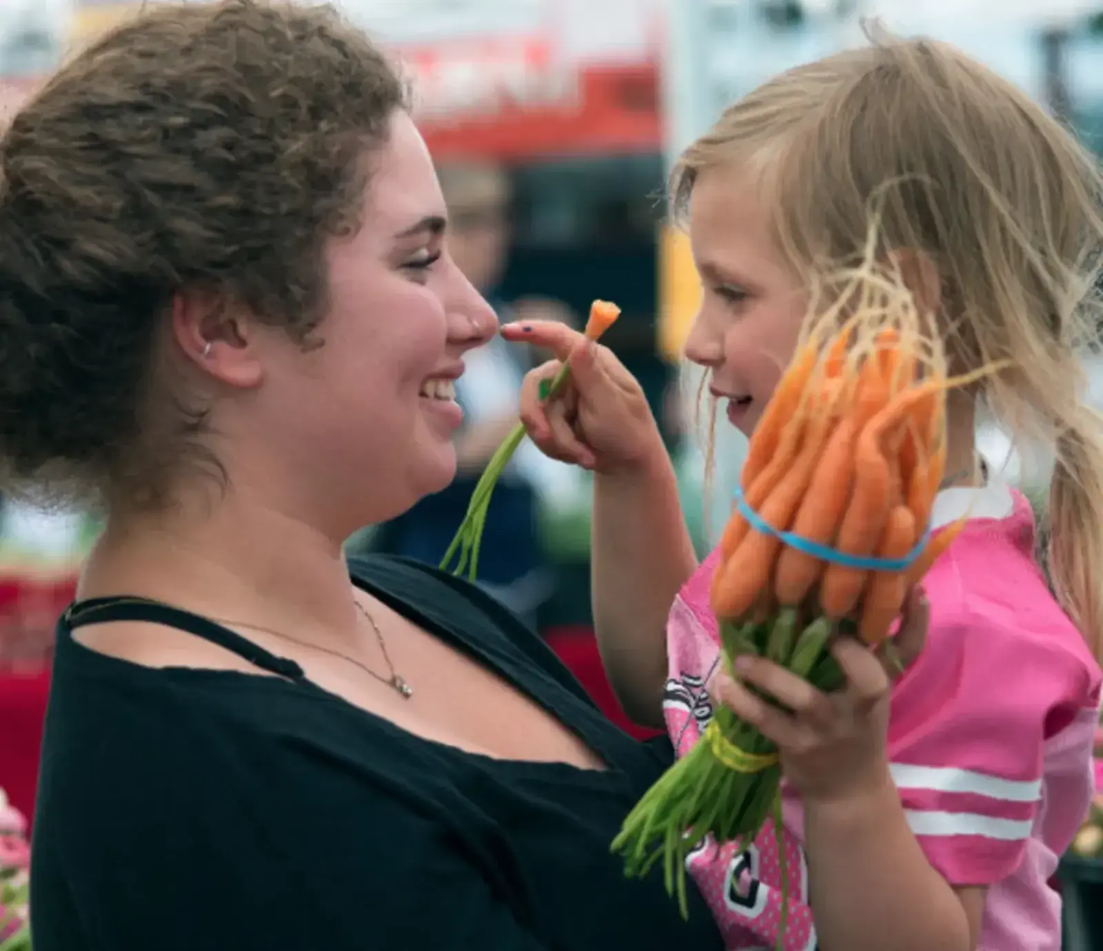
In addition, there was ongoing concern about how the schools’ lunch money was being spent, mainly on distant food suppliers and not to support local farmers. This insecurity also reduced the connection that young people had to food and meant they missed out on actively learning about food, nutrition, gardening and agriculture.
In 2020, Mary Hunt brought out her marketing skills and created the FEEDJeffco Green Map in partnership with JCCWP.org, the county’s school wellness program. This Farm to School project became a center point of engagement and helped people visualize new solutions to food security at a local level.
What we did
In the Platform’s early days, Mary planned her first Green Map around artisanal food but quickly realised she could do much more to benefit her community by charting with networks like the Food Bank Growers (https://www.foodbankgrowers.org/). Thinking carefully about the core challenge of working with the public schools and engaging youth, Mary organised her data collection in an accessible way so that each featured site is formatted the same way, with location, hours, and offerings at the users’ fingertips.
“When garden volunteers see how their efforts are spreading across the county, they have a new feeling of pride in their fresh food location”, said Mary, who also shared her maps’ ‘secret organizational recipe’ during the Green Map 2023 workshop on mapping food security.
Outcomes
Over 100 sites on the map
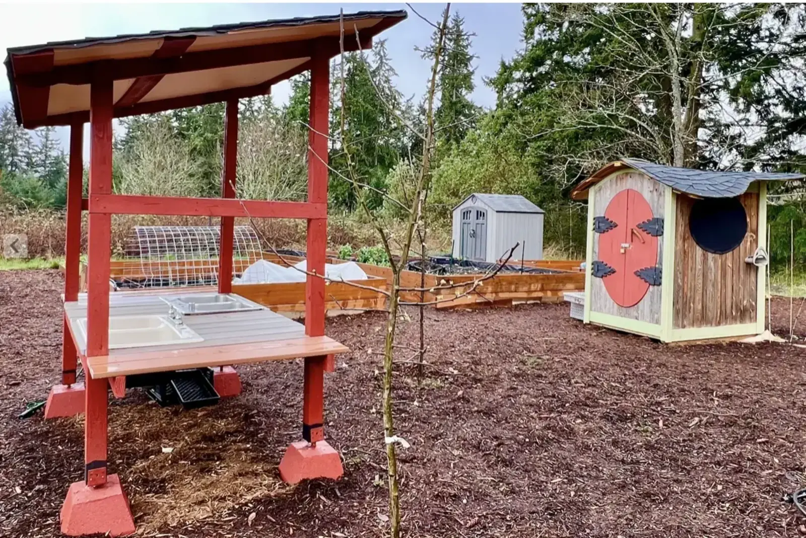
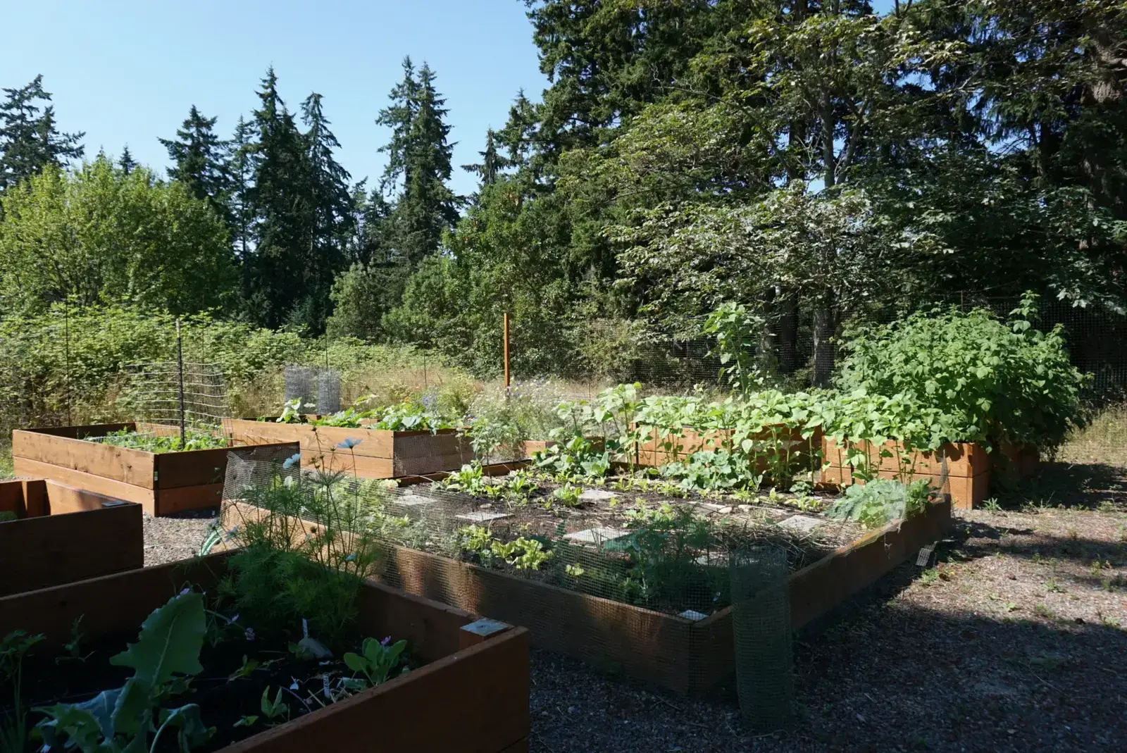
There are 100 sites across two maps created by the FEEDJeffco Green Map team. Sites include places where fresh local produce is being grown not only on farms, but also in conjunction with local schools and food banks.
Activated discussion
By focusing on local production and using the Platform’s survey tools, the map has extended the discussion about issues linked to placemaking, food access and opportunity. The process of bringing organizations together to make the map has built resilience at a local level, as people can access information and get involved quickly and easily.
Enhanced Community Outreach
The map has helped spark collaborations and donations to JCCWP.org as it adds value and depth to what this organization does for the community and the Farm to School programs.
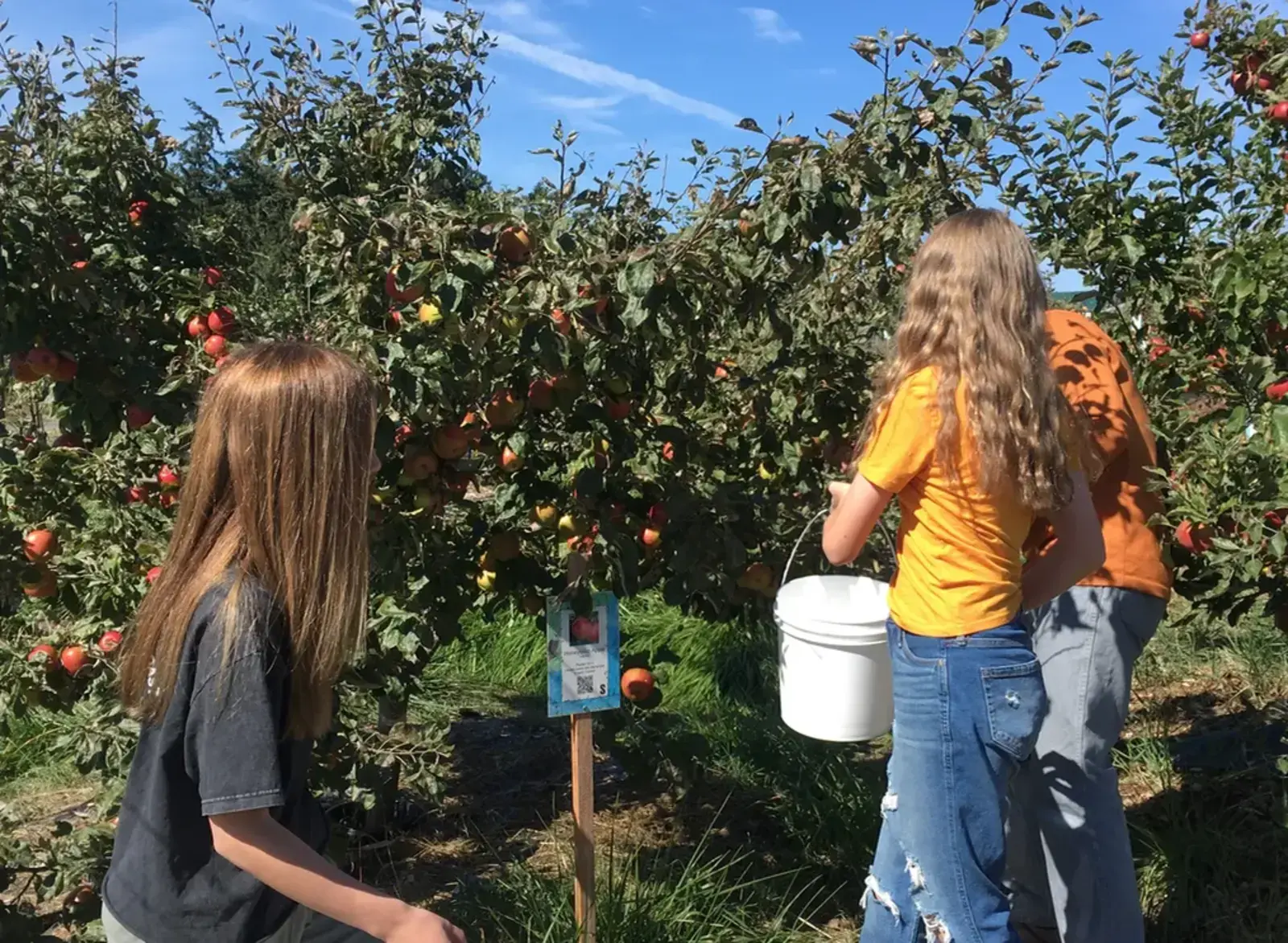
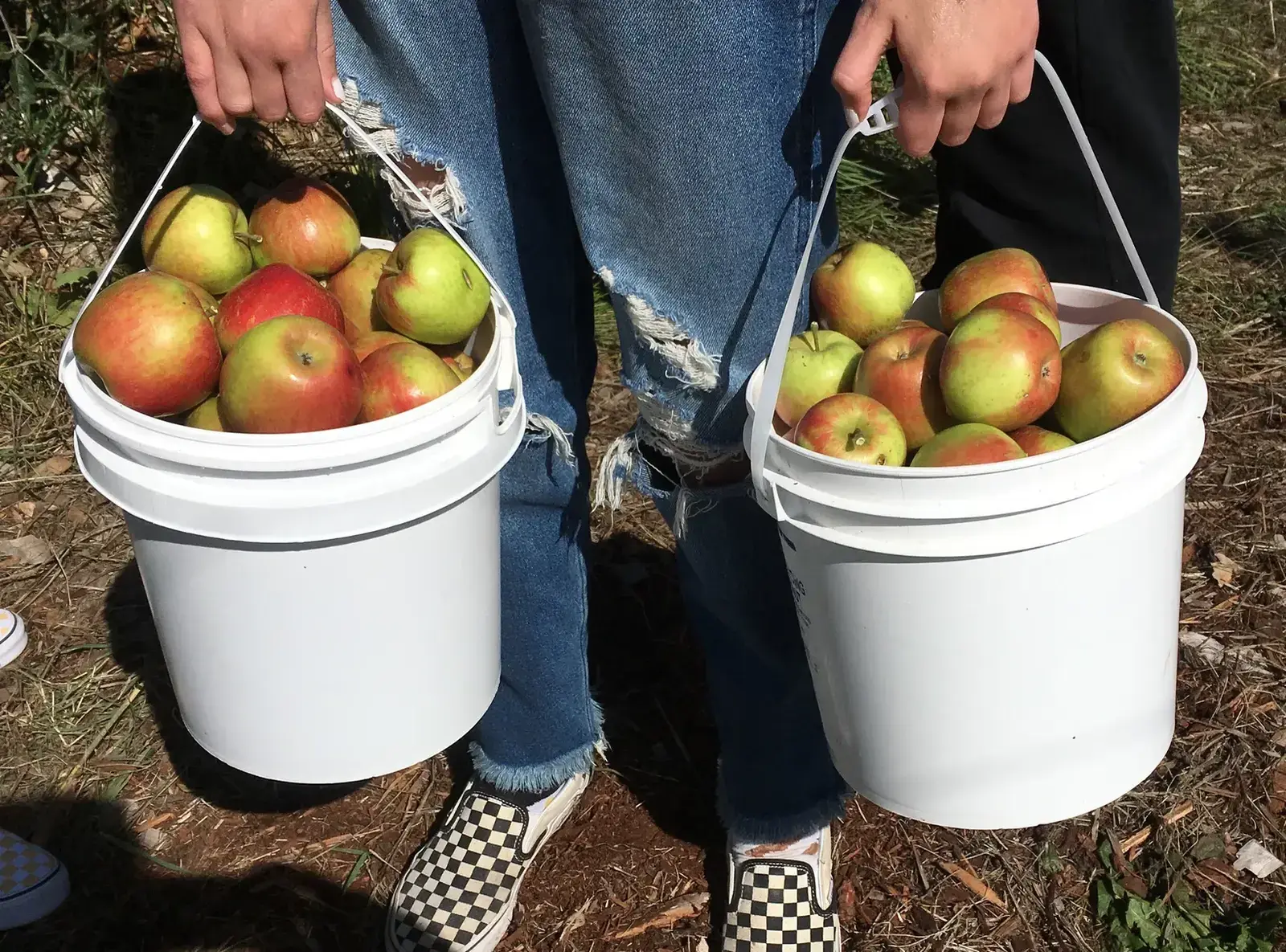
New local production
The map has helped spark collaborations that have resulted in schools serving locally produced apple sauce, it also helped to drive donations to JCCWP as it adds value and depth to what this organisation does for the community.
New icons
This project, and others, inspired the completion of a set of Local Food Icons, which can be utilized on print maps as well as the Platform. These icons and Mary’s experience are valuable to the Green Mapping community, too.
What we learned
"The Green Map enabled us to bring the smaller school-centric groups together so that students could see how the North West region and the push/pull of environmental and economic touchpoints impact an our local food network,” says Mary Hunt.